Incident # multiple - Two days of severe thunderstorms brought four reported tornadoes to Colleton County Tuesday and Wednesday 05 and 06 April. Thunderstorms impacted several communities and heavy damage was encountered through Georgia (Bryan County) and neighboring Allendale County in South Carolina. The National Weather Service (NWS) issued three Tornado Warnings for Colleton County Tuesday evening with the reported radar indicated Tornadoes in Smoaks, Ashton and Bennetts Point/Edisto Island. No reports of injuries or structural damage were received Tuesday. There were seven reports of trees and power lines down and two road closures which were cleared quickly by SCDOT. There were only 100 reported power outages. Sustained winds Tuesday were at 15 to 25 mph with gusts at the Lowcountry Regional Airport at 60 mph at 19:15. Fire-Rescue opened the County Emergency Operations Center during the storms, but were able to close the Center before midnight.
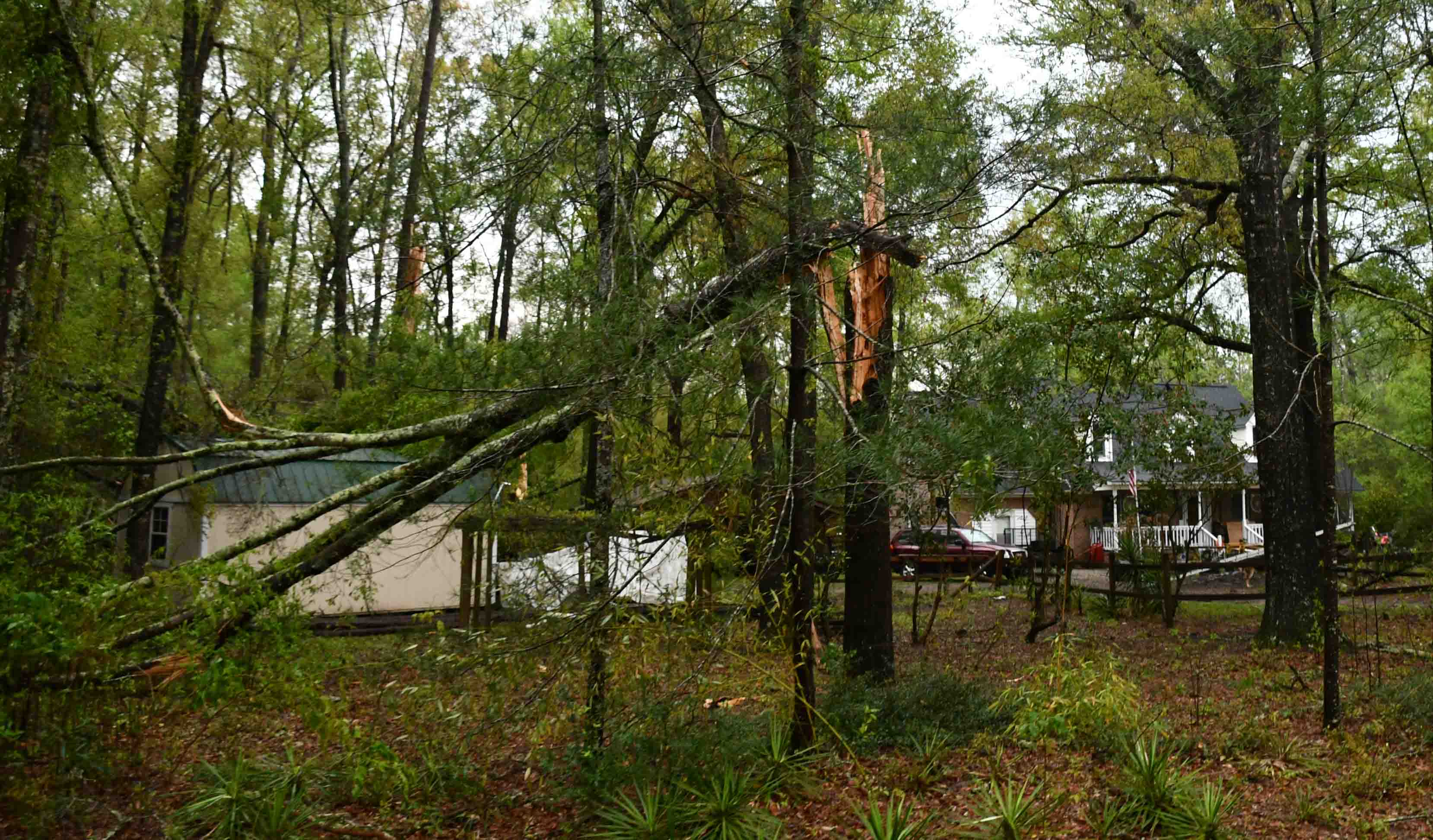
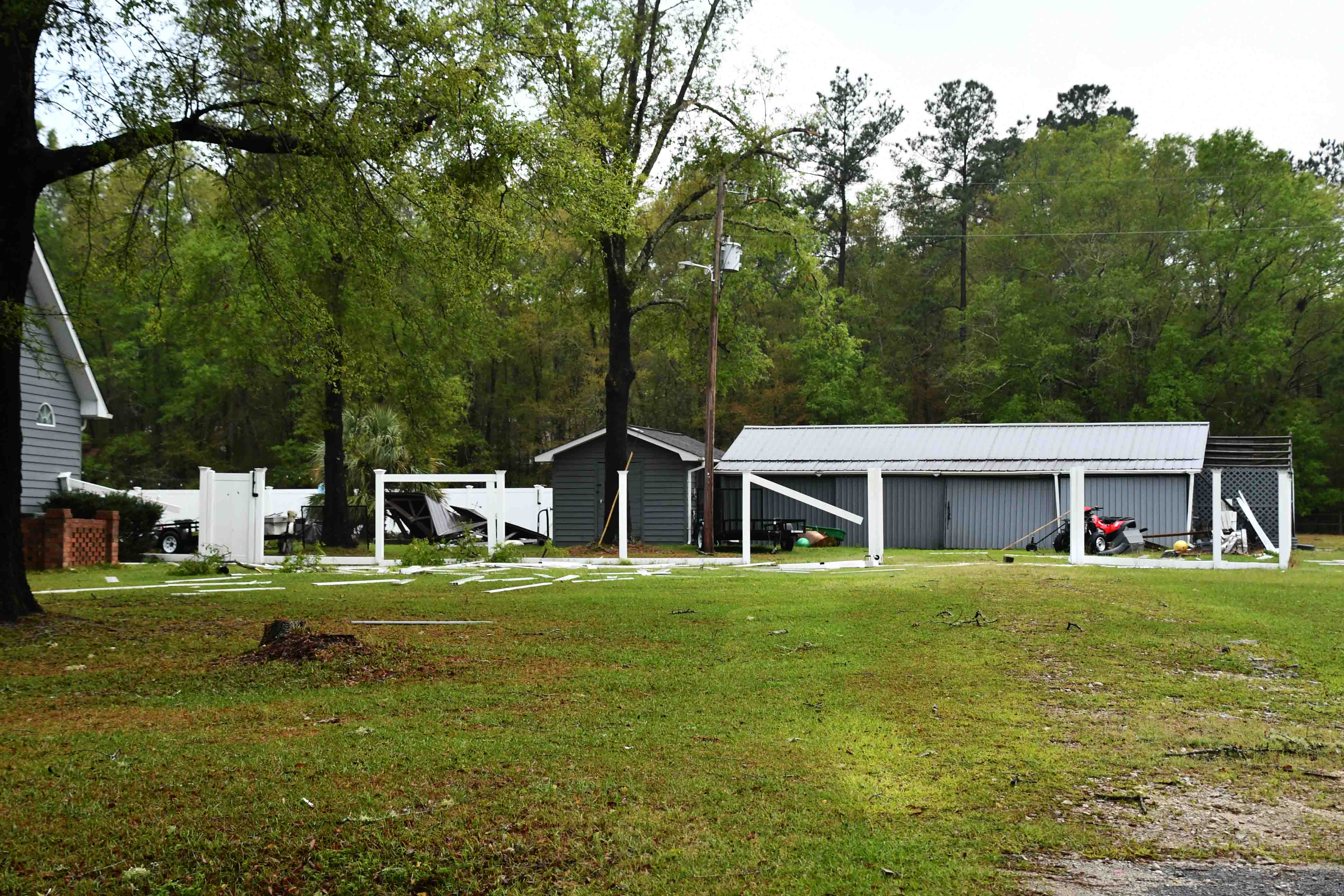
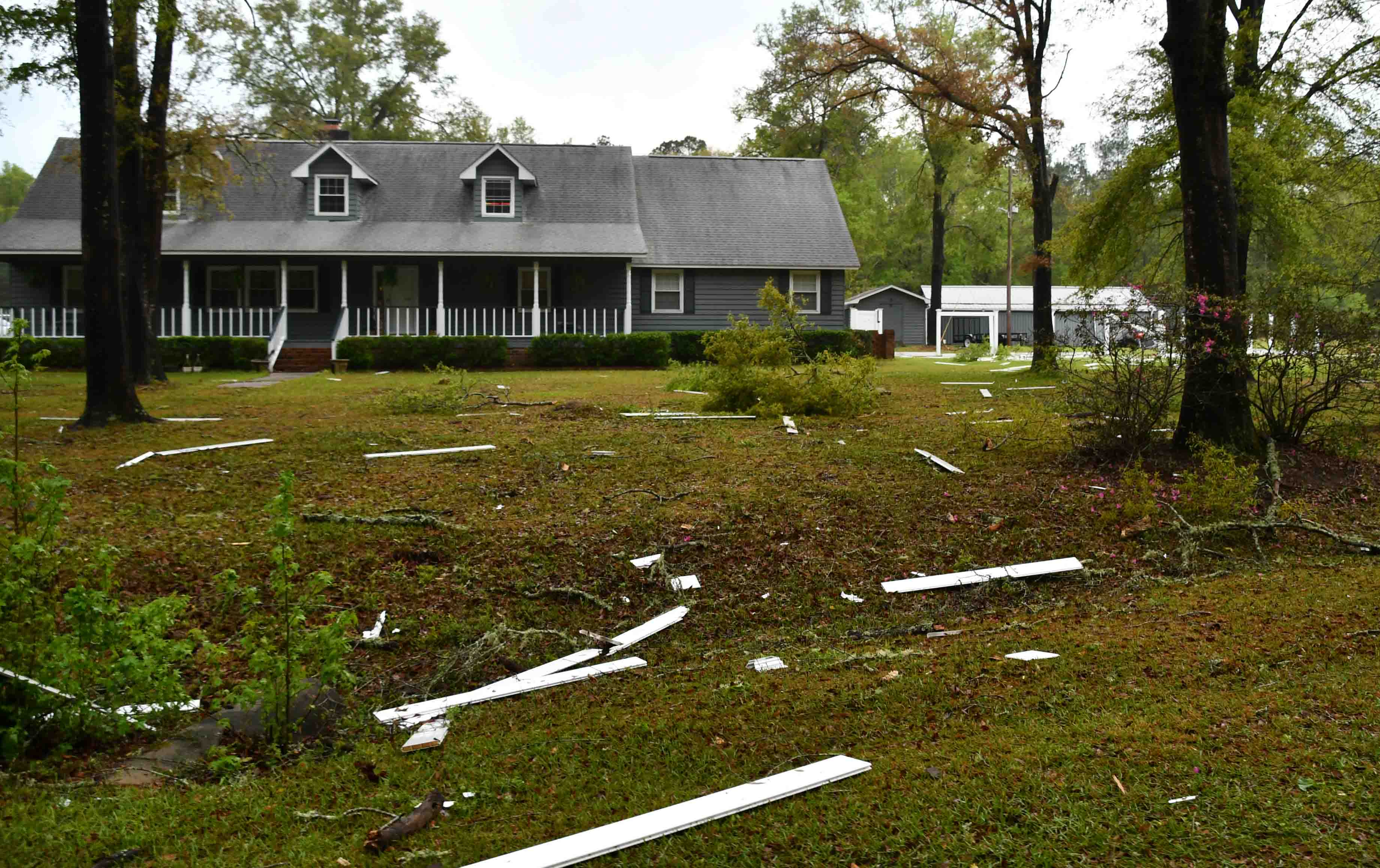
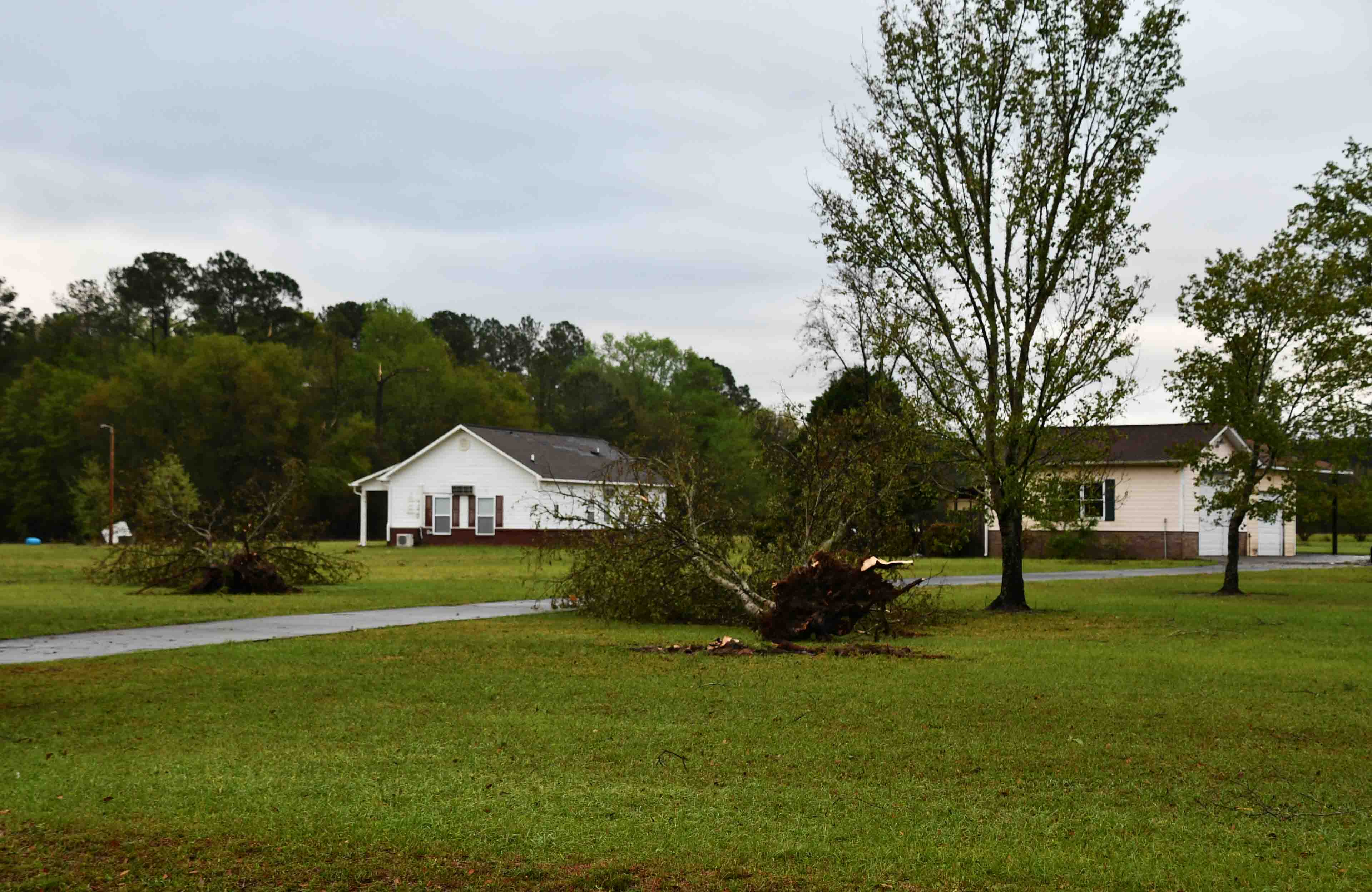
Wednesday evening was a similar scenario. The NWS issued one radar indicated Tornado Warning for Colleton County. Several citizens reported a Tornado that appeared to have touched down in the area of the 2000 block of Hudson Mill Road, that crossed Benton Farm Road at Preston Lane, then traveled to the area of Sandy Springs Circle. Several trees were down on Hudson Mill Rd and Benton Farm Road. The roads were cleared by SCDOT crews. Several trees were down on Sandy Springs Circle as well as damage to several homes, out buildings and fencing. One citizen obtained surveillance video of the winds destroying a gazebo and fencing on his property. Trees were reported to have blocked roads in the Moselle Community and Smoak Rd near Walterboro. No injuries were reported and there were 374 power outages. The NWS will be in Colleton County Thursday to assess damage and determine if actual Tornadoes were on the ground.